The second stage of the pedestrian navigation project has been completed


True North Ltd. has completed the second stage of the tourist pedestrian navigation project while the new tourist maps of Plovdiv are already in use by the guests of the city, thanks to the Tourism Department of Plovdiv Municipality.
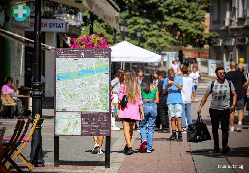
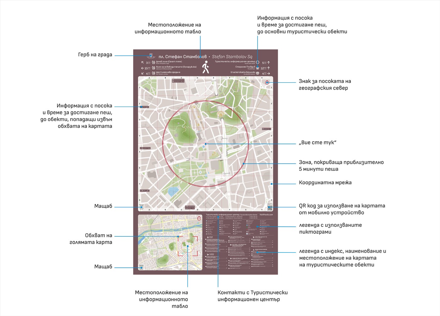
The used information boards are located in various places in the city, mainly in the central part, in front of the central railway station, the bus stations, the rowing base and the Plovdiv airport.
Each board has information on both sides. The total number of the maps is 30 and each shows the current location of the board with a real range of the territory - 1200 m by 1200 m. The scale of the main map is 1:1500. Each map have circle showing the distance that can be covered in 5 minutes on foot. Squares through 10 cm or 150 m from reality also help in estimating the distances to different locations. The map for each panel is different, depending on the location and the direction of movement. Some landmarks are represented by images. The used pictograms are from the official tourist map. Important objects like tourist attractions, accommodation places, restaurants, bus stops, ATMs, pharmacies, etc. are indicated.
The board also includes another smaller map at a scale of 1:10,000, with a larger part of Plovdiv, showing our current position and all other tourist attractions.
All text information on the map is available in two languages - Bulgarian and English.
There is a QR code that can be scanned from a mobile device so the map can be used offline too.
The tourist information boards are only part of the overall idea for pedestrian navigation in Plovdiv.


Add new comment